Geophsical Survey
GeoEngineering is able to offer a full range of survey
services including measuring the physical properties of the ground (or
structure) and determining if there are any variations or ‘anomalies’ in the
background readings. Our staff has designed, collected and interpreted
geophysical data for many applications using a variety of methods.
GeoEngineering’s expert surveying team uses the latest
geophysical techniques, including:
·
Multi-Channel Analysis of Surface Waves (MASW)
·
Ground Penetrating Radar (GPR)
·
Electrical Resistivity
·
Electrical Conductivity
·
Thermal Resistivity
·
Thermal Conductivity
·
Crosshole surveys
·
Downhole surveys
-
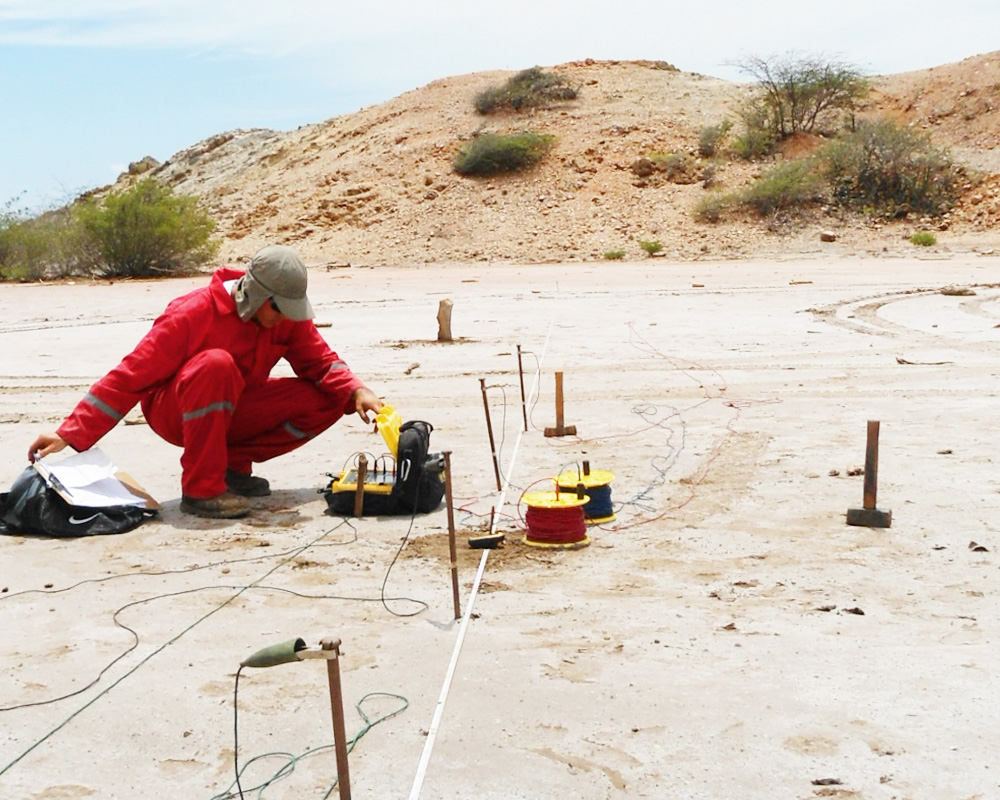
Multichannel Analysis of Surface Waves
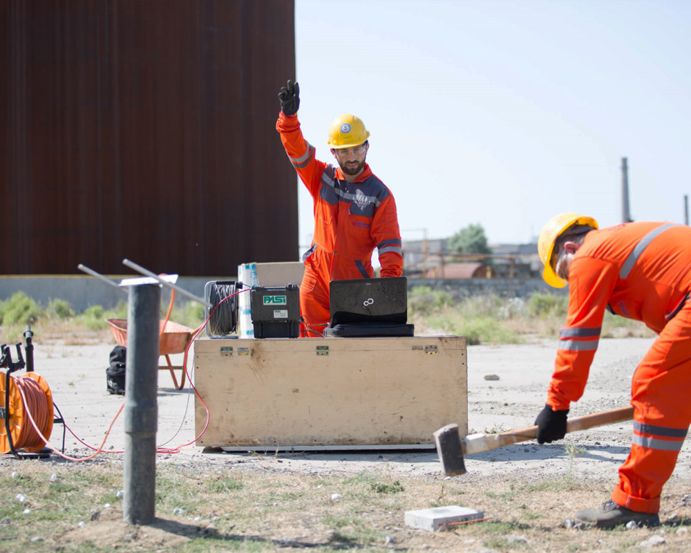
Multichannel Analysis of Surface Waves Method (MASW) is a seismic exploration method evaluating ground stiffness in 1-D, 2-D, and 3-D formats for various types of geotechnical engineering projects. MASW measures seismic surface waves generated from various types of seismic sources—such as sledge hammer—analyzes the propagation velocities of those surface waves.
-
GeoRadar Survey
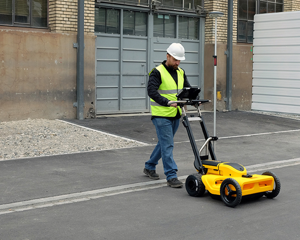
We offer underground survey with GeoRadar consists of locating and mapping known and unknown utilities such as underground pipes, foundations, piles, manholes. All underground survey georadar work is to be undertaken by the surveyors using both GeoRadar Device and GPS Survey Receivers. Level detail is taken at 5-meter intervals at first. Then measurement data is evaluated by professional Geophysical Experts. Then where it is seen some infrastructure exists, narrower interval such as 2.5m and 1.0m shall be scanned with same procedure. All the survey works data is provided as figures and in CAD format.
-
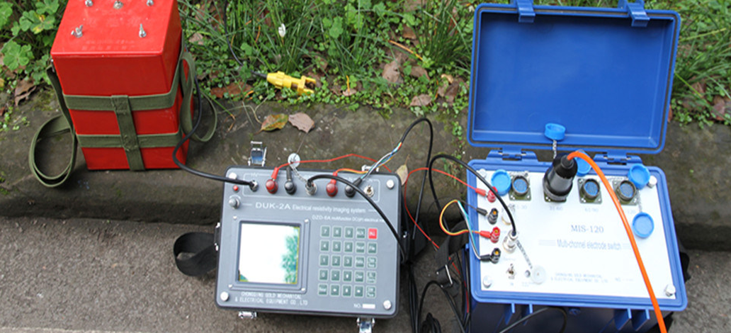
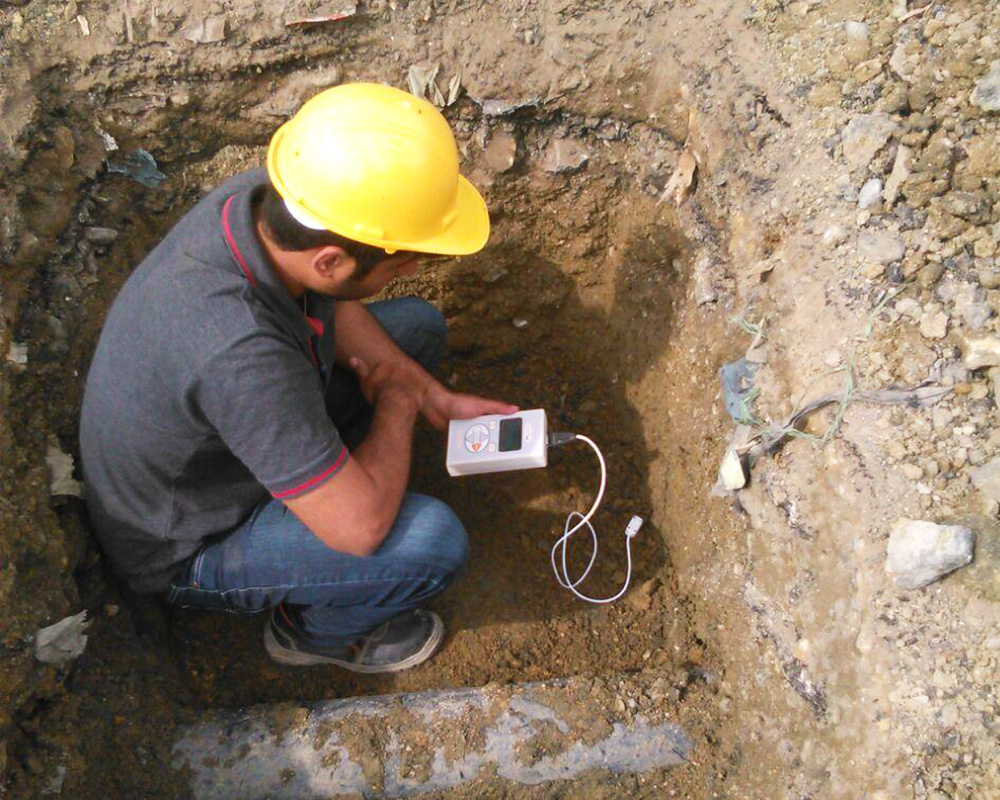
Soil Resistivity Test
Soil resistivity testing is the process of measuring a volume of soil to determine the conductivity of the soil. We are offering very accurate and highly efficient electrical resistivity testing services to our clients at cost efficient prices.
-
Soil Conductivity Test
GeoEngineering offers soil conductivity tests in accordance with ASTM D5334 – Standard Test Method for Determination of Thermal Conductivity Thermal Resistivity of Soil and Soft Rock by Thermal Needle Probe Procedure
-
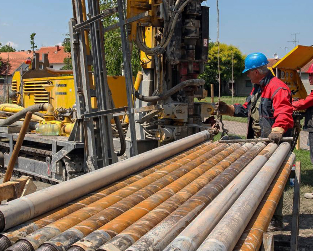
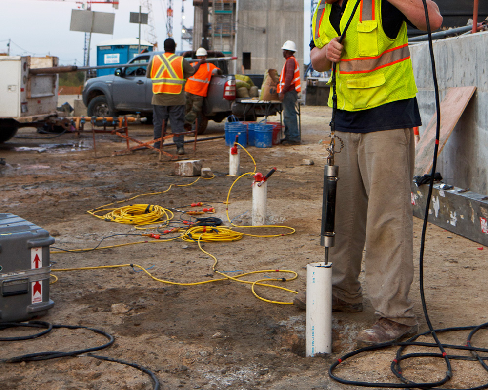
Crosshole Survey
GeoEngineering uses Crosshole data to obtain the most detailed in situ seismic wave velocity profile for site-specific investigations. The seismic crosshole test provides dynamical soil parameters down to depths of 100 or 150 m based on the determination of wave velocities. The measurements can be performed below and above the groundwater table. A grouted casing (e.g. PVC) with a diameter between 3 and 6 inch needs to be prepared. Typical surface distances between source and receiver borehole are between 5 and 20 m.
-
Downhole Survey
GeoEngineering conducts Downhole Seismic Tests to measure vertical changes in seismic velocity by placing a source at the top of a borehole and measuring travel-times at multiple intervals in the borehole. The aim of the downhole testing is to derive elastic rock properties such as Poissons ratio or YOUNG modulus.